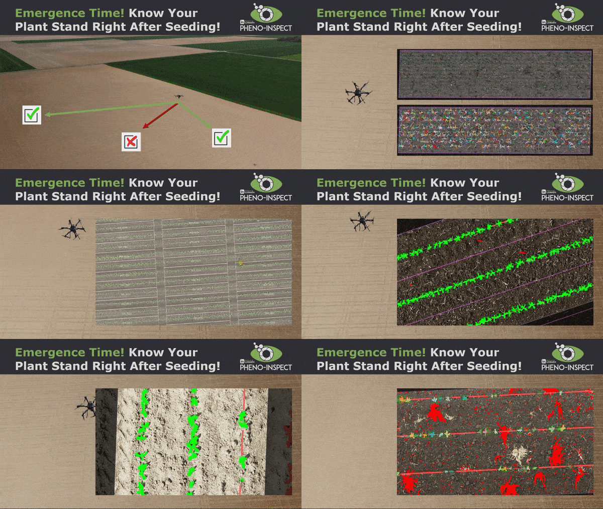
👉 Ready to map, spray, and document your weeds using low-cost drones such as the hashtag#Mavic3E?
Here’s how it works:
1️⃣ Provide Inputs:
- Select a task (Green on Brown 🌾, Crop vs. Weed 🌱, or more specific).
- Share your field boundaries (SHP/GeoJSON/KML or draw directly in our 🌱 Plant-Analyzer 🌱 web interface).
- We create the optimal task-specific mission for your drone and the AI model. Mission download works for all DJI-Enterprise Drones; otherwise, we will specify parameters.
2️⃣ Fly:
- Download and Execute the mission with your drone ✈️.
3️⃣ Upload:
- Upload your data to the 🌱 Plant-Analyzer 🌱 web interface and start the processing.
4️⃣ Analyze and Inspect:
- Inspect the results directly in our web interface 🧐.
5️⃣ Download and Execute:
- Download your application map as a point- or polygon map and take action with your 🚜.


